|
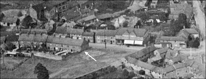
Rock Terrace was a row of six redbrick terraced houses which ran northwest-wards from what was later to become the bottom of Pioneer Avenue up to a point opposite the entrance to Bakehouse Lane.
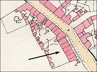 |
Above - Rock Terrace on the Ordnance Survey
map of 1886
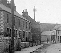
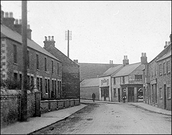
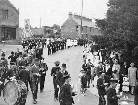
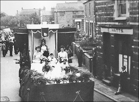
Below - Rock Terrace in about 1912
|
|
|
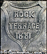
A date stone indicates that they were built in 1881, and certainly they are shown on the Ordnance Survey map of 1886. They thus counted as being amongst the first properties in Burton to be built of brick, as opposed to the stone which had been used to build cottages in the previous century.
Many terraces were built between 1870 and 1900, due to the growth in population caused by the arrival of the shoe and clothing industries. Unlike many of the terraces found in Duke Street, Alexandra Street, Spencer Street, Rosebery Street and Finedon Street, the houses of Rock Terrace had front gardens, and stood above road level. Though they lacked the refinement of the stone bay windows found in brick houses of the late nineteenth century such as those found at the bottom end of Station Road, the High Street, or the first part of Finedon Road, they were at least accessed by a short flight of steps leading up from the pavement to the front door. Like most properties of the time, they had quite long rear gardens, with brick sheds at the end.
Nowadays, Bakehouse Lane is deemed to be the dividing point between Kettering Road and High Street, and logically therefore one might expect that the houses Rock Terrace would have High Street addresses. However, inspection of old records such as Census data shows that there was some confusion over this: sometimes they were listed as being in the High Street and sometimes in Kettering Road.
The building line of the front garden walls ran to the point opposite Bakehouse Lane, and was then continued by the frontage of the old stone shops and cottages which continued up Kettering Road. The junction of the gardens and the following houses made an angle, (see map above) and this, coupled with the narrowness of the road and the paths, caused a dangerous bottleneck for traffic and pedestrians alike. (One persistent local myth was that you could jump across the road from one footpath to the other!) The pavement at the junction was barely wide enough for one person, and the angle of the building line made it difficult for traffic going to Kettering to see pedestrians walking towards town on that side of the road. Single file was the order of the day, as was extreme caution when pushing something like a large, old-fashioned pram. It is surprising that there were so few serious accidents at that point.
|
|
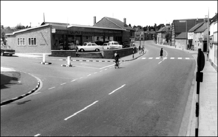
The 1950s saw an increase in the size of population and volume of road traffic, and consequently, demands grew to “do something” about the bottleneck opposite Bakehouse Lane. Inevitably, this meant demolition in order to widen the road. The work started in 1960, and by 1961 Rock Terrace had gone forever.
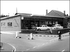
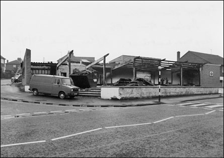
What took its place was a car showroom. The land was purchased by Stan Firmin, who transferred his Church Street Motors operation to this prominent location in the High Street. Unfortunately, a disastrous fire in 1968 gutted the building and it subsequently became a car lot, which it remains today.
|
|
|
Above - Church Street Motors in 1966
Below - after the fire on Sep 29th 1983
|
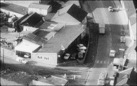
Above - an aerial view of the site taken in 1972
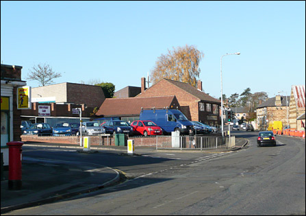
Below - the site in 2007
|
|
|
|
|